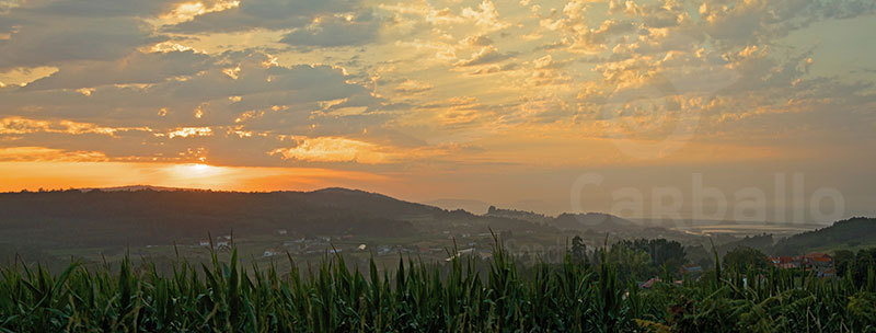
The information you find in this QR is part of "Senda do Mar", a project promoted by CarballoTown Council and financed with European funds through GAC3. It consists of an auto-guided route using QR codes that starts from the port of Razo to the Punta do Sal area, thus touring the Razo-Baldaio countryside.
Go on and do this route, where will find videos and audio's about the landscape, biodiversity, gastronomy, leisure and traditions of this countryside and the municipality of Carballo, highlighting the Carballo coastline as a natural resource, but also as an essential means of understanding the idiosyncrasies of the area's social and economic environment.
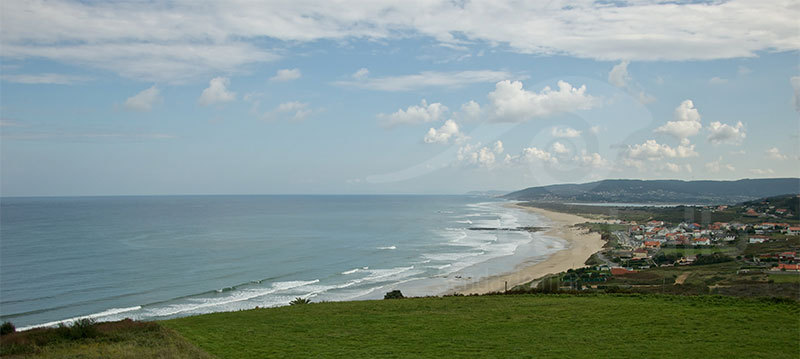
Now you're in the Santa Irene viewpoint, located in Castrillón. From here you have spectacular views of the entire coast that Carballo covers, as well as other municipalities such as Malpica, Arteixo and A Coruña with its outer harbour. Also from here you can see from above, as if a great eye were watching you, Baldaio lagoon surrounded by its large veil woven by the sinuous dunes.
Look at the files you have below and get to know this natural paradise of Costa da Morte, which is Razo- Baldaio.

