The cruceiro (stone cross) is located in the atrium, a good starting point of the Insua Route, a circular route of about 5 km (2h) bordering the Insua Hill. The views are amazing!.
One piece of advice! Do not forget the binoculars, and walk slowly if you want to spot some of the many species of birds (herons, egrets, etc.) living here!
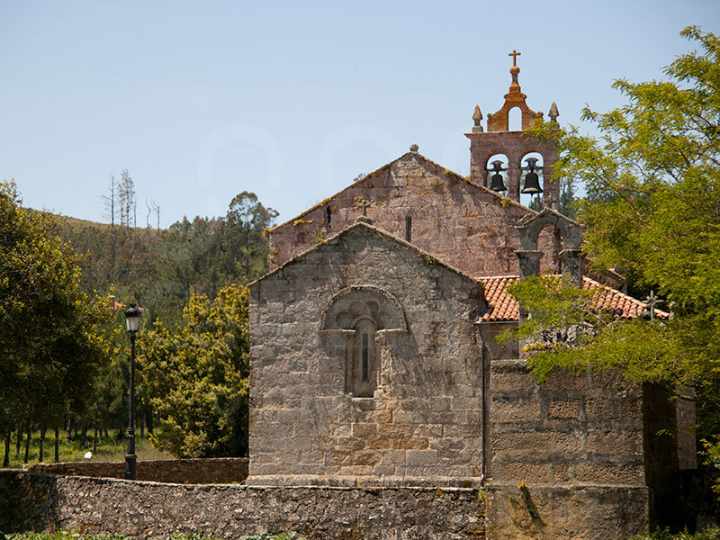
The route begins at O Ariño beach, runs through the Rego dos Coiros beach and Punta Sandíafrom where you can take a detour to the Insua Hill (104 m). This is the route's highest point, a perfect place that will give you beautiful memories to take home with you. From there you can spot the ria mouth, the marina and the fishing port, the beaches of Lingunde and Area da Vila, the chapel of the Virxe do Monte and the Cerdeimar cannery, the Costa da Morte's oldest factory.
Once back, another interesting stop is the old Amparo wolframite mine, located in the Campo do Turco. Wolframite was very important in the past, especially during World War II–the post-Spanish Civil War years– because it was used for arms manufacturing. The Amparo mine, which supplied wolframite for the British Army, operated from July 1947 to August 1959.
Near the mine is the Agramar fountain, a fresh water spring rising close to the sea; the mouth of the Lamastredo river and the Pazo de Paxariñas (17th century).